

Digital geographical model of territory of the Czech Republic (Data50)
| Product information | ||
|---|---|---|
 | Name | Digital geographical model of territory of the Czech Republic (Data50) |
| Commercial code | Commercial code is not defined | |
| Export unit | country | |
| Unit price | No charges | |
| Export formats | SHP | |
| Coordinate systems | S-JTSK / Krovak East North, ETRS89 / UTM zone 33N (N-E) | |
| Distribution | 


| |
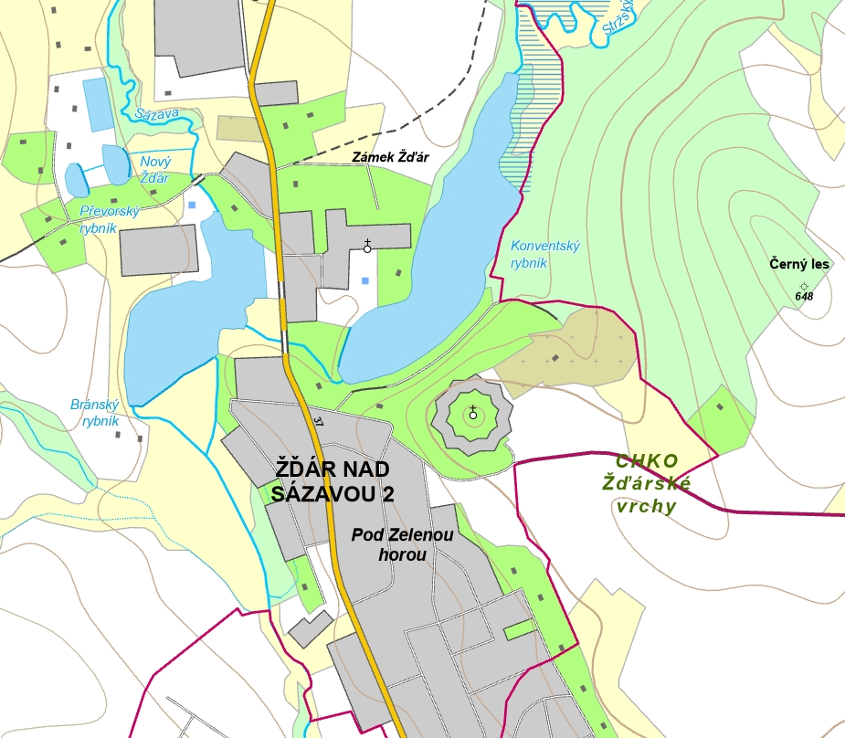
| Product description | Data50 is a geograpfical model of territory of the Czech Republic. It has been derived from a cartographic database for the Base topographic map CR 1 : 50 000 and it is comprised of 8 thematic groups in total - Settlements and cultural and industrial buildings, Transportation, Pipelines and electric lines, Hydrography, Boundary of territorial units, Vegetation and bare surface, Terrain and Names. Data is provided as open data in SHP data format. | |
| Update cycle - update state | The entire data series is regularly updated. A new status is published every year, where the part of the data set corresponding to the ZTM 50 edition plan is fully processed and the remaining part of the territory of the Czech Republic is updated with road transport and administrative division. The state of roads corresponds to 1.1.2025, the state of administrative divisions corresponds to 1.1.2025. Update state | |
| Conditions applying to access and use | No charges Creative Commons CC BY 4.0 License According to Regulation No 31/1995 Sb. | |
| View data |
Web map application Služba WMS | |
| Data download |
Atom service Export of a current extent Pre-defined files download - selection above the map WFS service | |
| Contact - product information | Land Survey Office, e-mail: ZU-obchod@cuzk.gov.cz | |
Product last update:
2025-05-15
2025-05-15
Information last update:
2025-06-03
2025-06-03
 RSS 2.0 Geoportal ČÚZK